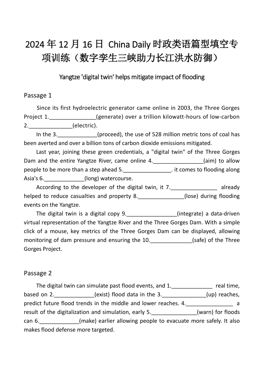
2024年12月16日 China Daily时政类语篇型填空专项训练(数字孪生三峡助力长江洪水防御) Yangtze 'digital twin' helps mitigate impact of flooding Passage 1 Since its first hydroelectric generator came online in 2003, the Three Gorges Project 1. (generate) over a trillion kilowatt-hours of low-carbon 2. (electric). In the 3. (proceed), the use of 528 million metric tons of coal has been averted and over a billion tons of carbon dioxide emissions mitigated. Last year, joining these green credentials, a "digital twin" of the Three Gorges Dam and the entire Yangtze River, came online 4. (aim) to allow people to be more than a step ahead 5. . it comes to flooding along Asia's 6. (long) watercourse. According to the developer of the digital twin, it 7. already helped to reduce casualties and property 8. (lose) during flooding events on the Yangtze. The digital twin is a digital copy 9. (integrate) a data-driven virtual representation of the Yangtze River and the Three Gorges Dam. With a simple click of a mouse, key metrics of the Three Gorges Dam can be displayed, allowing monitoring of dam pressure and ensuring the 10. (safe) of the Three Gorges Project. Passage 2 The digital twin can simulate past flood events, and 1. real time, based on 2. (exist) flood data in the 3. (up) reaches, predict future flood trends in the middle and lower reaches. 4. a result of the digitalization and simulation, early 5. (warn) for floods can 6. (make) earlier allowing people to evacuate more safely. It also makes flood defense more targeted. When floods come, the areas that are 7. (severe) affected are often the raised embankments(堤防) separating agricultural land, 8. (know) as polders(圩田). There are many polders accompanied by dikes that run 9. both banks of the Yangtze River. The quality of these dikes is weaker and poses significant 10. (hide) dangers during flood defense, said Li Anqiang, deputy chief engineer of the Changjiang Institute of Survey, Planning, Design and Research Corporation of the Changjiang Water Resources Commission. Passage 3 "This year, we 1. (establish) a comprehensive database for all 706 polders, as well as the entire mainstream and dynamic flow of the Yangtze River. When floods 2. (threat) the polders, we can notify local departments 3. advance," Li said. On July 2, having 4. (calculate) through the digital twin, the Changjiang Water Resources Commission issued warnings that 5. (approximate) 2,430 kilometers of dikes in the middle and lower reaches of the Yangtze would exceed the water warning level, spanning Hubei, Hunan, Jiangxi, Anhui and Jiangsu provinces. On July 3 and 4 alone, 101 polders received warnings allowing 6. (authority) to take relevant action, according to Li. A typical example is the warning issued on June 30 for the Guiliangzhou area in Jiayu county, Hubei, 7. immediate 8. (prepare) for evacuation were advised due to 9. (rise) water levels. On July 2, proactive measures such as breaching the dike were 10. (take) for flood dive ... ...
~~ 您好,已阅读到文档的结尾了 ~~

